
01
The problem
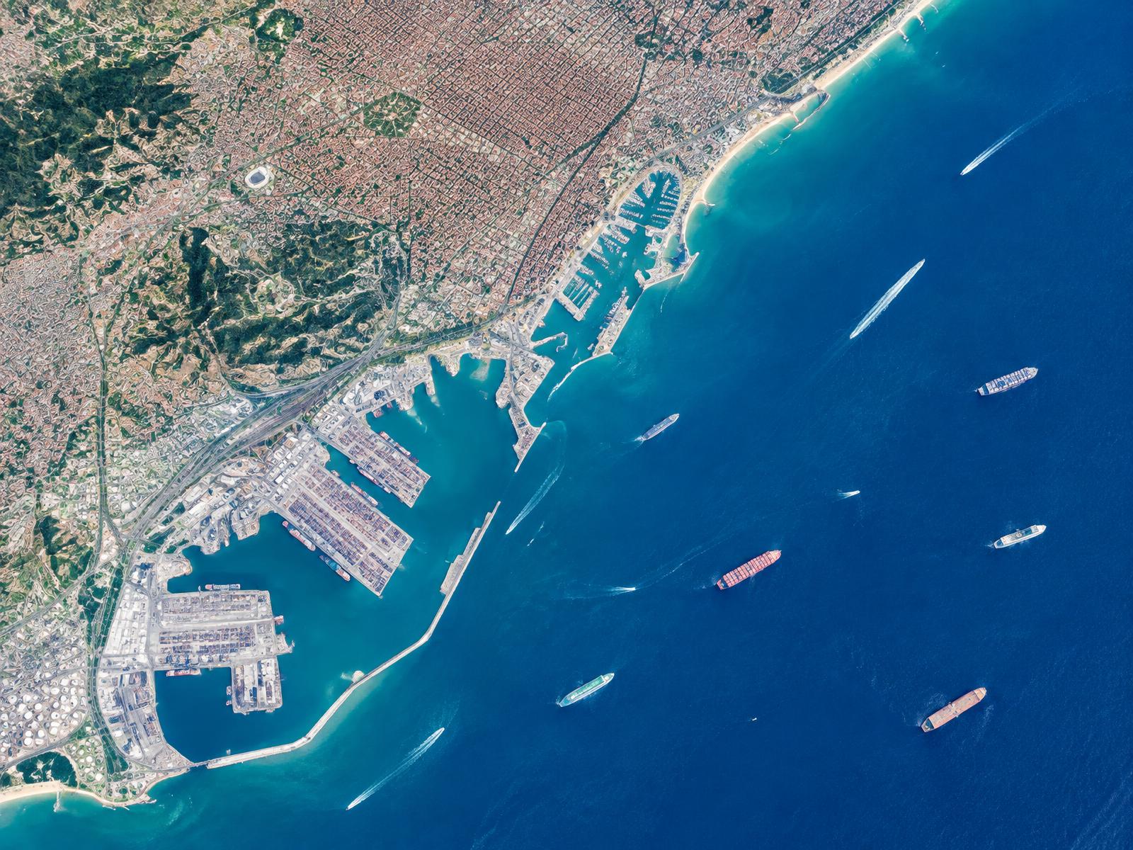
“Shipowners, marine surveyors and port works teams can access satellite and marine data, but it is scattered across different services. They must reconcile locations, dates, formats and uncertainty before it can support a decision. A sea-depth map alone does not explain the wave and current conditions along a port approach.”